Excelsior Correspondent
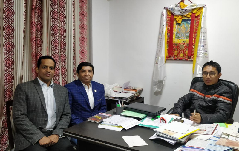
LEH, Oct 23: A team of Northern Railway, led by Anupam Singh, Chief Engineer and Alok Kumar, Deputy Chief Engineer, called on Jamyang Tsering Namgyal, Member of Parliament from Ladakh and apprised him about the progress reports with regard to laying of Railway Networks in Leh.
The team members informed that the portion of Upshi to Leh can be surveyed in about four to five months time. They also gave compliance of request made earlier to divert the alignment so that the green patch of this area is disturbed in minimal way.
The MP held detail discussions about all the progresses and enquired about the next plan for this winter months. On being asked about feasibility of the railway line, the team said that it’s not possible to predict exact timeline but, yes after sanction it seems broadly that in five to six years line can be constructed as the patch is perfect plane, involves no tunnels, no very high viaducts and the geological conditions also seems stable except some patch which needs more detailed study.
Northern Railway’s long demand of land to set-up a camp office and rest house has also been considered and a patch of 3 hectares of land has been identified near Sabu village. Joint inspection of Tehsildar and Railway was completed on 22.10.2019 and railway has submitted its revised letter for allotment of this land to Northern Railway. It was again assured that local administration will try its best to transfer the land at earliest.
Since many years, there was a demand of Railway line in Leh area in Ladakh. Many a times letters were written to Northern Railway to complete the Final Location Survey in Upshi-Leh portion of the section. Northern Railway earlier engaged M/s RITES to complete Phase -1 of this survey. The work of Phase 2nd and 3rd of this survey has been assigned to a global consultant and work has already been started. As of now, the reconnaissance survey has been completed and satellite imagery has been procured from United States Satellite World View, the best in world through NRSC/ISRO. State of the art technology like RTX and LiDAR is being used in this survey to make it completed in limited time as the high altitude portion gets closed during winter.


